Task 2.5: Earthquake risk scenarios for selected European cities (UPAV, LNEC, AUTH, KOERI)
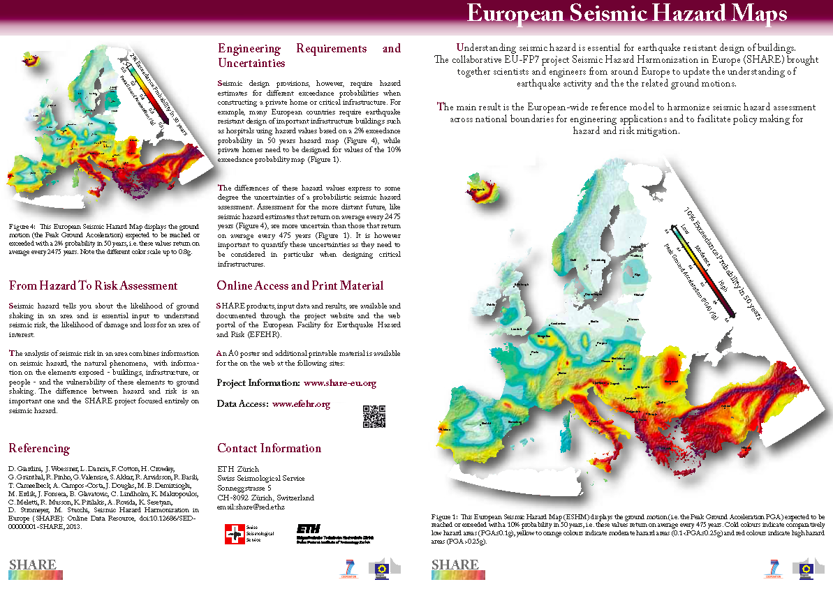
The objective of this task is to undertake seismic risk/loss assessment scenarios for selected European regions (e.g. Algarve region, Italy) or cities (e.g. Istanbul, Lisbon, Messina, Thessaloniki) considering seismic hazards maps currently employed in those regions as well as the new hazard model developed and proposed in the current project. The aim will be to better appreciate and scrutinise the consequences, in terms of practical design application/assessment and seismic risk evaluation/mitigation policies, of the introduction of a new European seismic hazard model.
The main tasks of the activity are:
- Collate the exposure data in terms of building classes;
- Identify capacity curves and fragility functions for each building class;
- Run the Capacity Spectrum Method using response spectra based on the EC8 spectral shape, fixed to the PGA in the national seismic design codes at the near collapse return period;
- Calculate damage distributions for each building class and convert to social and economic losses (based on proposed consequence functions for the region);
- Repeat analyses using the SHARE seismic actions in terms of PGA and spectral shape (at the same return period).
- Produce comparative maps to illustrate the impact of the change in hazard on social and economic losses.


